


Health officials combating the Ebola crisis in eastern Democratic Republic of Congo are utilizing anonymized mobile phone data to track population movements and pinpoint potential areas where the virus might spread next, as reported by the World Health Organization (WHO) and collaborating researchers.
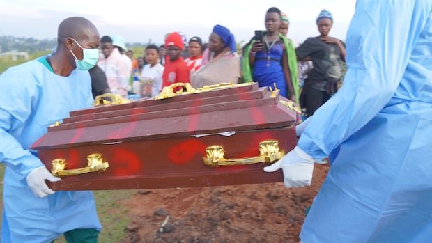
This innovative strategy, unprecedented in Ebola response efforts, is crucial as authorities grapple with what WHO has labeled the most rapidly expanding Ebola outbreak on record. The outbreak has been documented in six provinces, impacting over 6,250 individuals with 3,039 fatalities since its declaration on May 15, according to the latest government figures.
This outbreak, the 17th in Congo, is attributed to the Bundibugyo strain of Ebola, for which no approved vaccines or treatments exist.
Amid the virus’s dissemination, health officials are exploring methods to predict potential outbreak locations and allocate limited surveillance and response resources effectively.
Olivier Le Polain, in charge of epidemiology and analytics for WHO’s Health Emergencies Programme, emphasized the significance of population movements in the current epidemic. Traditional risk assessments focus on outbreak epicenters, assuming the virus would primarily spread to nearby regions. However, by analyzing mobility data, responders can identify risks in areas not geographically close but interconnected through travel patterns.
The data analysis, conducted by Swedish non-profit Flowminder, relies on anonymized records from mobile phone users connecting to telecommunications networks. These records, generated as people move around the country, indicate where these connections occurred, offering insights into travel patterns.
Flowminder founder Linus Bengtsson clarified that they provide estimates on people’s movements, aiding in predicting the movement of infectious individuals without accessing personal subscriber information.
The first analysis by Flowminder, released in early June, focused on regions believed to be the outbreak’s origin, namely Bunia, Mongbwalu, and Rwampara. Researchers observed travel patterns from individuals who had visited these areas between April 3 and April 23.
As the outbreak extended beyond its initial epicenter, Flowminder expanded its analysis to other affected regions, identifying potential travel routes for individuals leaving hotspots.
The findings highlighted connections between Kisangani and Kinshasa, as well as settlements along the Congo River and border areas with Central African Republic and South Sudan, raising concerns about possible spread to Congo’s capital and largest city.
Amid the ongoing threat, WHO continues to caution about the outbreak’s likelihood of reaching Kinshasa and neighboring nations. A modeling exercise presented in late June estimated a 70% probability of a case being detected in Kinshasa by the end of September.
While the analysis is insightful, it only presents a partial view of movements across international borders due to its reliance on data from Congolese mobile networks, particularly Vodacom. Efforts are underway to collaborate with other operators to enhance coverage and acquire more comprehensive data for improved response strategies.