

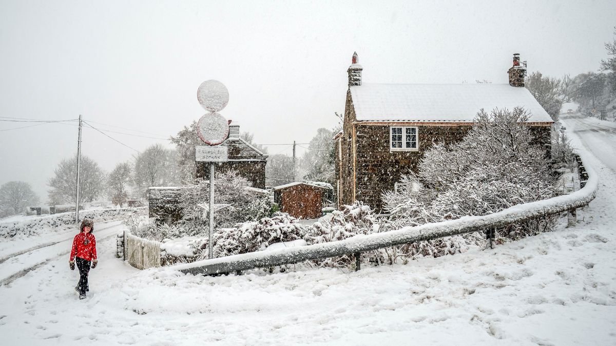

The UK is expected to experience heavy snowfall in the upcoming days, with daytime temperatures plummeting to as low as -4C, according to the Met Office. The weather agency predicts snow reaching as far south as Kent by Saturday due to a strong northerly wind.
A weather warning for snow and ice has been issued for New Year’s Day and Friday, with the possibility of up to 11 inches (30 cm) of snow accumulation. The Met Office warns of increasing snow showers and significant accumulations, especially in higher areas.
Travel disruptions are anticipated, particularly in Scotland, affecting post-New Year travel plans. The Scottish Highlands and Aberdeenshire are expected to bear the brunt of the heavy snowfall.
The northerly winds, potentially reaching gale force, will intensify from New Year’s Day evening, with gusts of 60mph along the North Sea coastline. Hazardous road conditions are expected throughout the night and into Friday.
The Met Office advises caution, emphasizing the dangers of wintry weather on driving conditions. Precautionary measures such as planning routes, checking for delays, and packing essential car items are recommended to ensure safety during the snowy period.
Weather maps indicate snow reaching Kent on Saturday night, with flurries expected in London. The East Midlands, particularly Lincolnshire and Leicestershire, are likely to experience the heaviest snow on Saturday evening, moving eastwards towards Norfolk by Sunday morning.
As of now, no further weather warnings have been issued, but forecasters suggest new alerts could be forthcoming, especially for Saturday.