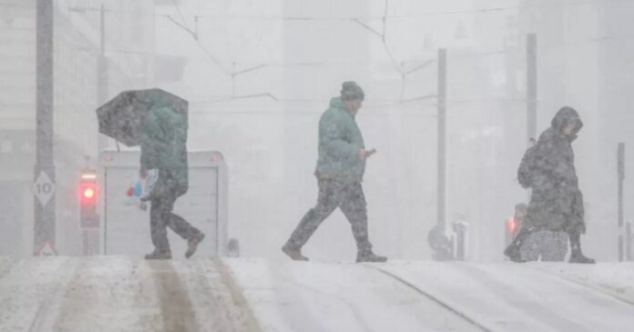
The United Kingdom is preparing for a significant snowstorm that could bring up to 5.5 inches of snow, with only one region in England likely to avoid the snowfall.
According to WX Charts utilizing Met Desk data, a snowy weather event is forecasted around January 1st. New Year’s Day may see a widespread snow cover spanning over 600 miles, from Scotland down to the southeast of England.
While northern England is expected to be the coldest and receive the most snow, East Anglia is also anticipated to see some snowfall. WX Charts’ maps, based on the GFS advanced modeling system, suggest that temperatures could drop to -5°C during the day as England experiences cold weather following the Christmas period.
The regions likely to escape the snow on New Year’s Day are the southwest of England, including Devon and Cornwall, and the southwest of Wales. Conversely, the Midlands, including Birmingham, will likely see snow flurries, as well as the southern regions of England, covering the Home Counties and Greater London.
Snow depth is predicted to vary from 2cm to 14cm, with the northeast regions such as Tyne and Wear, Northumberland, Durham, Cumbria, and Yorkshire expected to be the most heavily impacted.
Yorkshire, including West Yorkshire, South Yorkshire, North Yorkshire, and East Riding, is at risk of snowfall. Norfolk and Suffolk in the east of the country are also expected to experience heavy snowfall as temperatures plummet.
BBC’s Lead Weather Presenter, Sarah Keith-Lucas, has provided a brief forecast for the upcoming week. She mentioned that Christmas Day is likely to be drier and colder compared to earlier in December, with higher pressure expected after Christmas leading to colder and more settled conditions. As the new year approaches, temperatures are forecasted to be around average (6-9°C), or slightly lower in some areas, with the possibility of overnight frost and fog becoming more prevalent.

